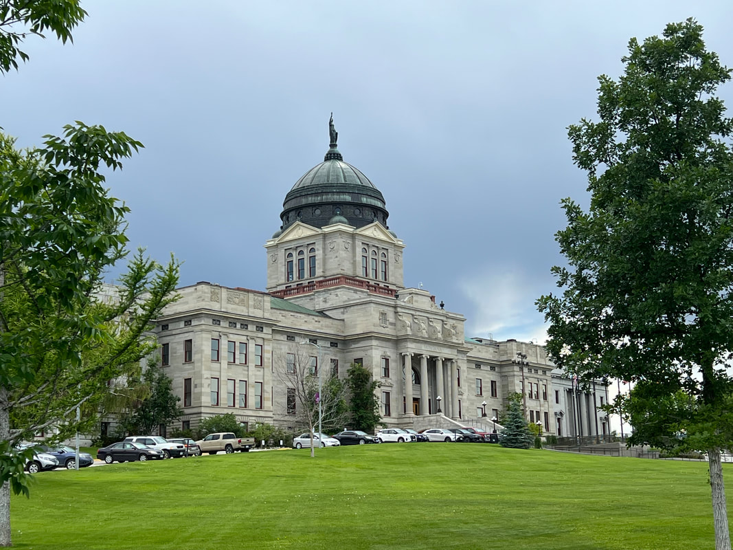
We spent 12 days in Missoula. Tom finished the project he was working on in Belize around 4pm on Friday, the new fan for the toilet arrived in the mail on Friday, and Lisa got home Friday evening. So, we made plans to head for Glacier NP on Saturday morning.
Glacier NP is almost due north of Missoula, and it was an easy drive on wide open Montana roads. We’d had a pizza dinner with Lisa and Stash the night before, and Stash had warned us that Glacier was requiring vehicle reservations to enter the park. We looked on line about getting a reservation, but it seemed too complicated so we decided to deal with it after we got to the park. We pulled up at the west entrance near Apgar, and saw the giant signs saying vehicle reservations were required between 6am and 3pm, and to expect lines to enter the park after 3pm. It was already close to 2pm, so we drove about 7 miles from the entrance to a disbursed campsite we found on iOverlander to have lunch and make a plan. The plan we made was to eat lunch, leave the scooter at the campsite to make sure it would still be open, and go into the park after 3pm to talk to somebody about our options.
The line to get into the park wasn’t as bad as we anticipated from the dire warning on the sign, and a ranger was standing near the end of the line and letting anyone who has an America the Beautiful National Parks Access Pass bypass the line, so we didn’t wait at all. We tucked ourselves into the last available RV parking space and went to the visitor center, where there was a long line at the manned information kiosk. As we were deciding what to do, a shuttle pulled up and the driver got out, and since it was late in the day nobody was waiting there to get on the shuttle, Tom approached the driver to ask if we would be allowed to ride our bikes into the park the next day without a vehicle reservation, and she said yes. Then she told us that a better plan would be to just get to the park before 6am, and because we have the access pass, we could just come in and park and be in the park for the day. We wanted to see the Going to the Sun Road, and our camper is too big anyway, so we had planned to park and ride on the free shuttle. She told us the shuttles start at 7am, and it’s better to get on an early shuttle because the lines get longer later in the day, so we’d only have to wait an hour anyway if we entered the park before 6am.
This was a brilliant plan. We went back to the campsite which was also a trailhead for a trail running into the National Forest, and took a very scenic walk. We had an early dinner and went to bed with the alarm set for 4:45am. We packed up the camper and left the campsite and drove into the park around 5:15. We were among the first vehicles in the park, so we parked in an RV spot and had breakfast. By the time we cleaned up and walked the dogs it was getting close to 6:30, so we got in the shuttle line. The driver was absolutely correct about the lines, and even that early we were on the second shuttle, although each shuttle carries only 15 passengers since big vehicles don’t fit on the road.
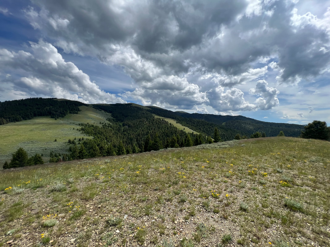
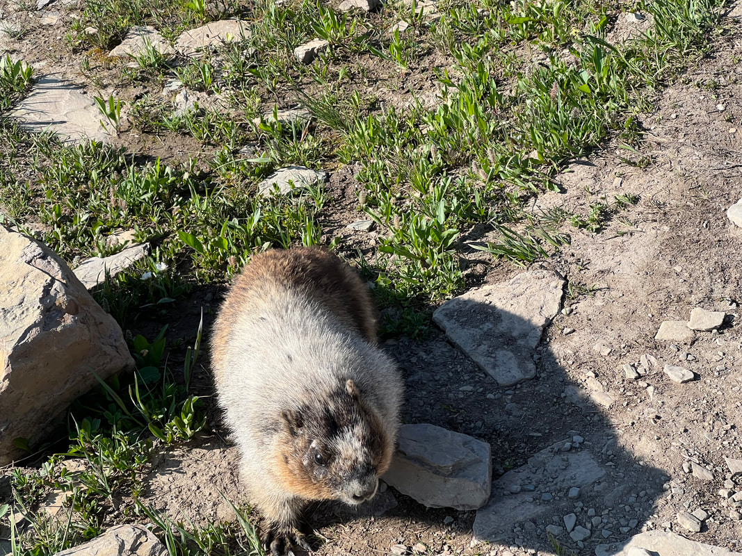
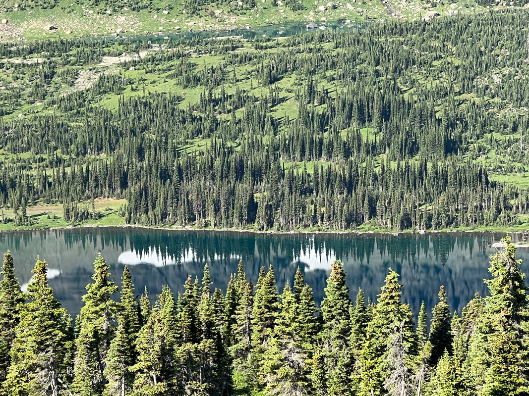
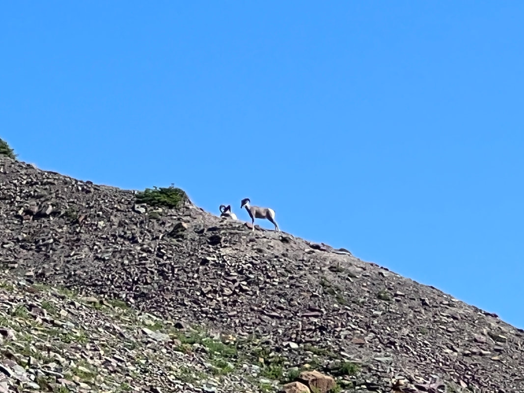
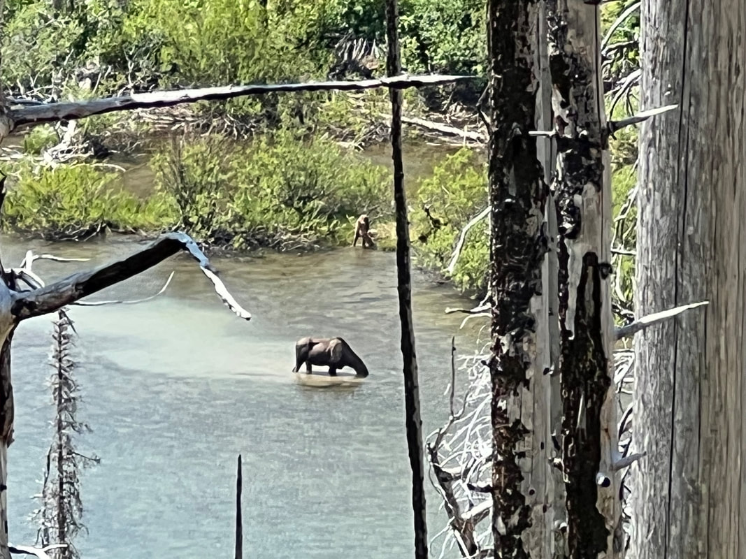
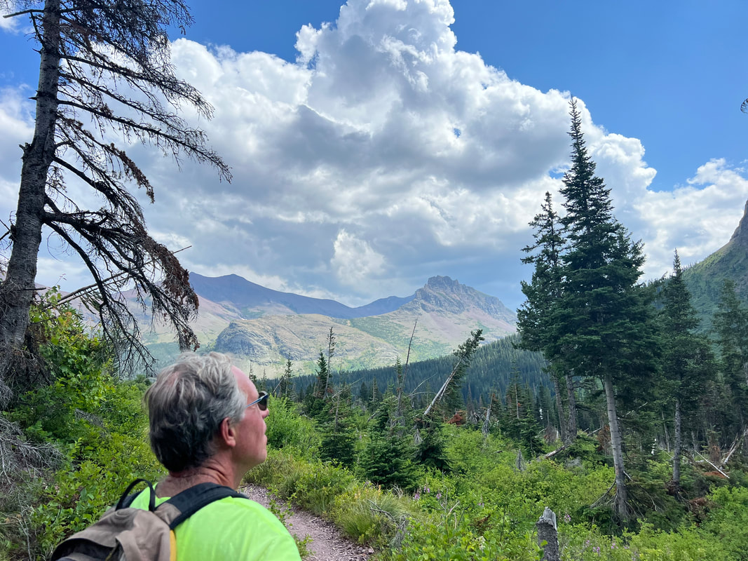
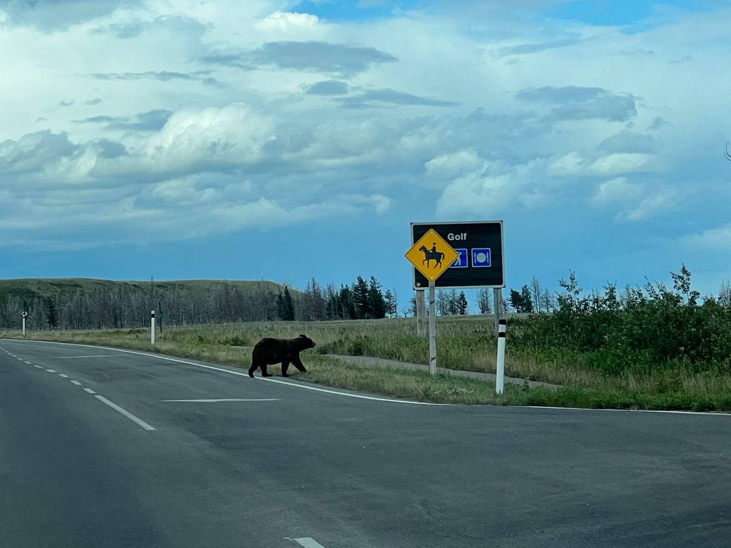
We spent the day exploring the park along the Going to the Sun Road. The shuttle took us directly to the Logan Pass Visitor Center, where we hiked the very accessible trail to the Hidden Lake Overlook. Even at 8am the parking lot was almost full, and a lot of people were on the trail. The trail is some boardwalk and some very smooth gravel, but even with all the people who are obviously there all the time, we saw a lot of wildlife. I found out that I’m apparently a marmot whisperer, since both the large hoary marmots and the smaller Colombian ground squirrels approached me for some reason. It was odd enough that other hikers noticed and asked if I had peanuts in my pocket, which I didn’t, and all I could think was that I hoped the bears wouldn’t find me equally appealing. We also saw big horned sheep and mountain goats, and lots of birds. I fortunately didn’t find out about bears because the trail was closed after the lookout due to bear activity, so we didn’t see a bear.

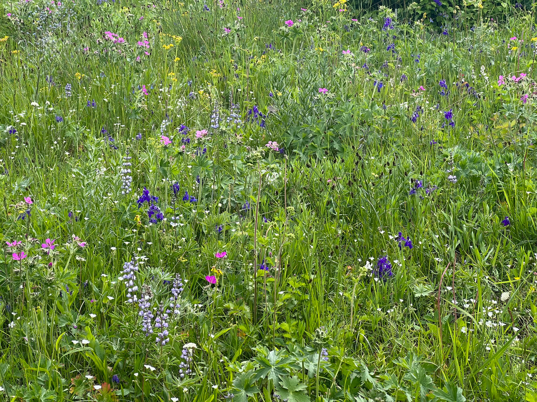
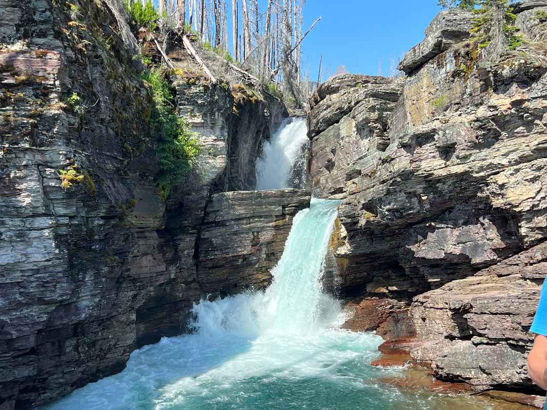
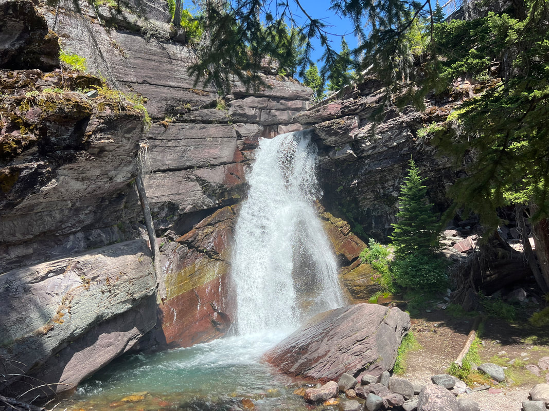
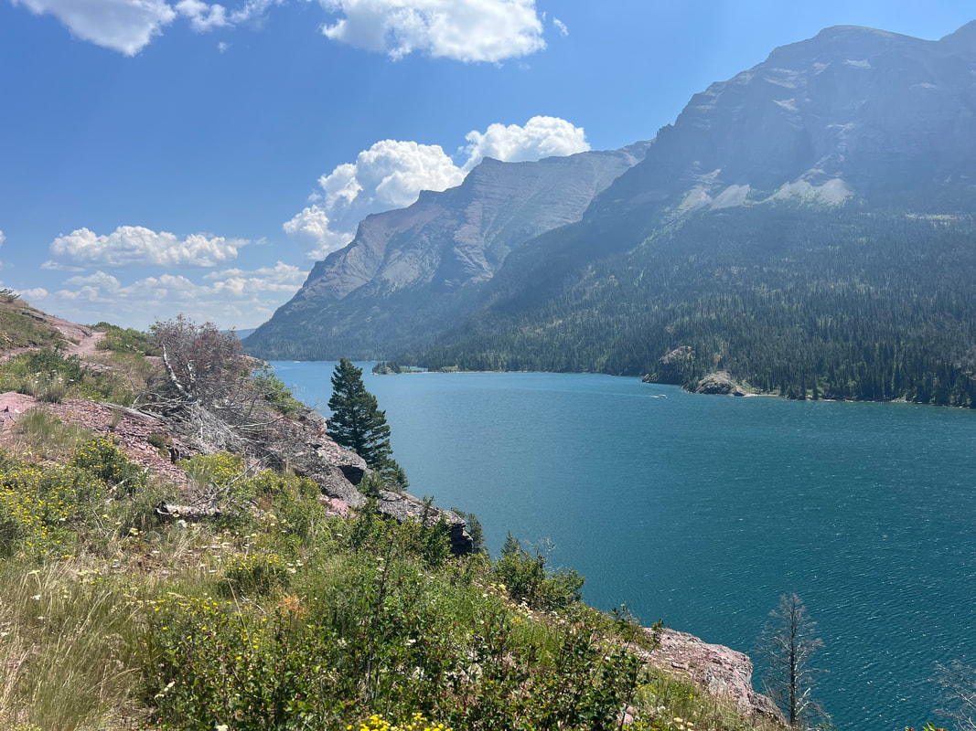
After the hike at Logan Pass, we got back on the shuttle and headed west on the Going to the Sun Road. We got off at the St. Mary Falls stop, and hiked to the St. Mary Falls and the beautiful Virginia Falls, which was an out and back. We then passed the St. Mary Falls stop and hiked down to the beach of the lake for lunch, then hiked past St. Mary Falls shuttle stop to go see Baring Falls. We picked up the shuttle to head back to Apgar at Sunrift Gorge, and started the long ride back to the west entrance.
Like many of the other major national parks we’ve visited, Glacier is at a crossroads between keeping the park accessible, managing huge crowds of people, and not disturbing the natural history of the area. The reservation system I mentioned above is part of it, and the free shuttles are also part of the effort. However, they’re still figuring out the logistics, and the shuttle system was frustrating at the end of a long and tiring day of hiking. The shuttle from Sunrift Gorge to Logan Pass was fine, and had room for us. We had to change shuttles at Logan Pass to continue west, and then again at Avalanche to get all the way to Apgar. These west bound shuttles from Logan Pass were a nightmare. There were too few shuttles and too many people, and everybody thought they had some good reason to get on the next shuttle. We were among the first few people at the Logan Pass stop, but there wasn’t a line, so when a shuttle pulled up, people who had just walked up would go in front of us. We waited politely for two shuttles, then decided we needed to put our Belize bus riding skills to use, and when we saw the next bus coming we elbowed our way to the curb and boarded. That bus got us to Avalanche, where the situation repeated itself, although this time we made sure we stayed near the boarding spot even when the crowd got pushy. We finally got back to the camper around 4:30, and headed back to the same campsite as the previous night, which was fortunately still open. We decided to not do the early morning thing again, and made a vehicle reservation for the Two Medicine entrance at the other side of the park, as well as reserving a campsite at the St. Mary entrance for the next night.
The drive to the Two Medicine entrance wasn’t as stress free as we had expected. It was scenic and easy driving from the West Entrance to the East Glacier Park Railroad Depot, but then the road to Two Medicine was signed as prohibiting vehicles over 21 feet in length. We’re 24 feet, so Tom continued driving on Rt. 2 and I looked at the map to see if we could approach from the north. Only one road goes by Two Medicine, and the north approach looked worse than the south approach, so we did a U turn and went back to the Railroad Depot. I looked at the campground limitations for RV size, and they allowed campers up to 40’, so we figured vehicles over 21’ must be able to get to Two Medicine, but Tom went into a hotel in town to ask. The desk clerk told him big delivery trucks and RVs go up that road all the time, so we went. It wasn’t a problem in the end, and a much longer vehicle could have easily navigated the four miles to the Two Medicine turnoff, but we decided we’d retrace our steps at the end of the day and come out the same way.

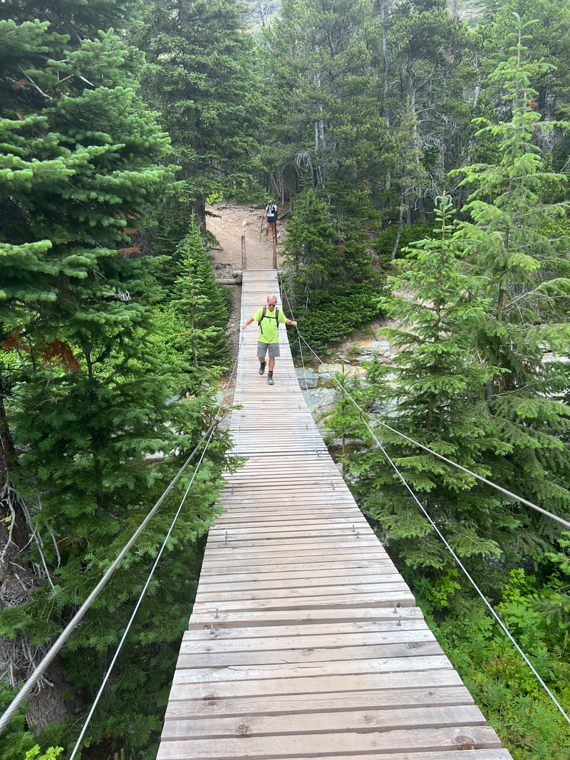
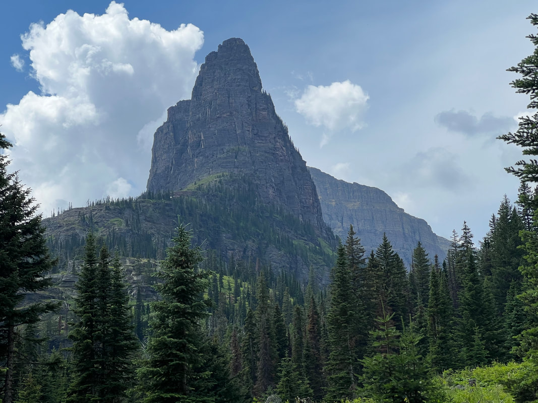
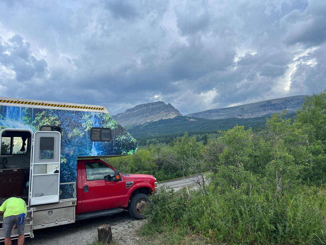
We found Two Medicine to be much less crowded than the Going to the Sun Road areas of the park, but it was still a trick to park. The rangers were very helpful and were letting people park pretty much wherever they fit, and we found a spot in a ragged line of cars parking tail in along the side of the road. We took a nine mile hike, all the way around the Two Medicine Lake for which the area is named, and saw two waterfalls. As usual, we talked to people along the trail, and were surprised to find that people were recognizing us and our vehicle, and asking questions after we responded positively to the “Are you the people from Belize with the big colorful camper?” question. So much for stealth.
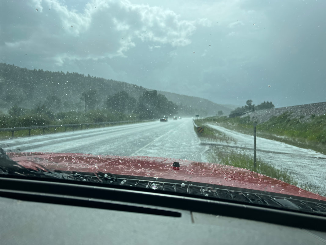
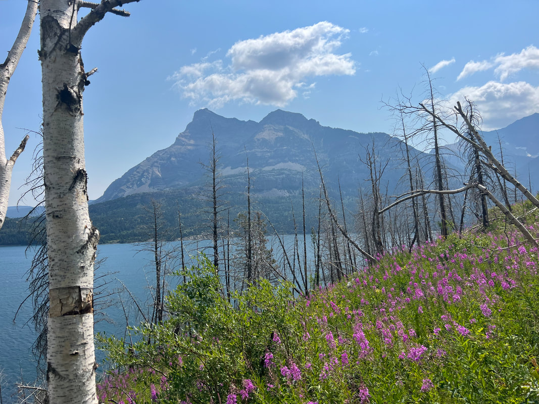
After the hike, we headed east to avoid the 21’ limit road, and then north to the St. Mary entrance of the park where we had reserved a campsite. That drive also took longer than expected because we hit a thunderstorm as well as construction delays, but we found the entrance and the campground with our campsite without any problems. The campground is surrounded by mountains, and although the weather was gray and cloudy, it was beautiful. We had planned to take a walk there in the morning, but it was still raining, so we packed up and headed for Alberta and Waterton Lakes NP, which abuts Glacier NP in Montana and is considered the other part of the International Peace Park.
We could have driven across the border within the park, but because we’d been diligent about using all of our produce so we wouldn’t have to throw it away at the border, we went to the border crossing on the road to Cardston. We were a little worried about the border crossing between traveling with all of our food, the dogs and cat, and using our US passports while crossing in a Belize plated vehicle. When we got to the border, we had only a small bag of carrots and one lemon, and we had all of the paperwork for the animals and the vehicle ready. We pulled up to the kiosk, and the officer asked us where we were going and if we were carrying any firearms. We told him we were heading for Alaska, and didn’t have any firearms, and he asked about bear spray. Tom told him we had one canister of bear spray, and two small canisters of pepper spray. That was what prevented us from just driving right on through, because they didn’t care about anything other than the small pepper sprays, which are considered concealed weapons and are illegal in Canada. In the end, it was just a convenient rest stop, since all we had to do was give them the two small pepper sprays, get a receipt, use the rest room, and we were on our way. They never even asked about produce, or wanted to see papers for the animals or the vehicle, and were very friendly about the whole process. We drove into Cardston and found a grocery store and restocked before heading for Waterton Lakes.

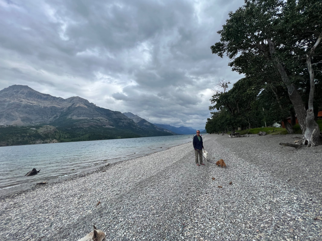
We stopped at the entrance of Waterton Lakes and purchased our Canada National Parks pass and drove into the village of Waterton. We hadn’t done a lot of research on this side of the International Peace Park, and were pleasantly surprised to find that it was much less crowded than the US side. We easily found a place to park on a village street, and got out to walk around. We went to the visitor center to see what there was to do in the park and what the deal was with camping, and found a very helpful ranger who not only explained the park, but also explained general camping and boondocking rules in Alberta and British Columbia. We walked through the village and along the lakeshore with the dogs, until we saw a storm brewing in the valley south of the village. We retreated to the camper and headed for the Belly River Campground which had been recommended by the ranger.
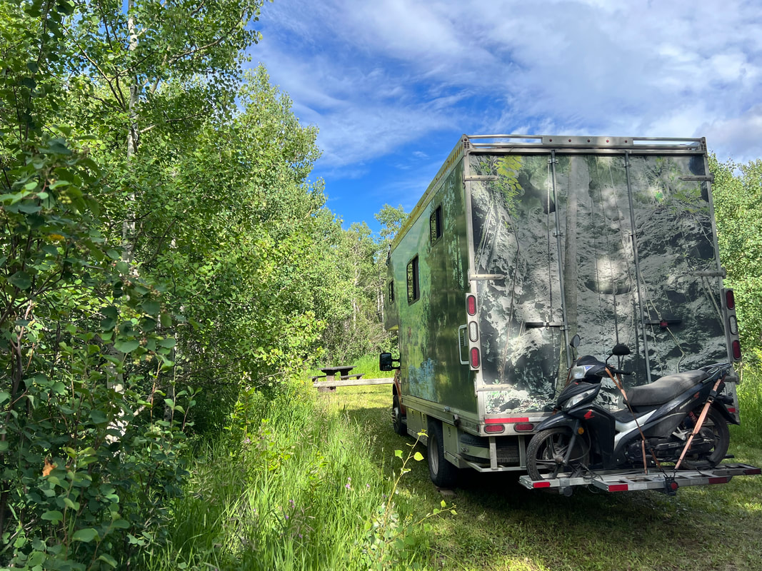
The Belly River Campground is a National Park primitive campground, with 24 sites with no amenities other than bear proof garbage bins. It’s first come first serve, and it turned out to be a good thing that we got there relatively early in the afternoon. We had our choice of sites, and found a nice spot along the river, but by dark most if not all of the sites were full. It’s honor system self pay, and it seemed like everybody there was following the rules. The campground is only a few kilometers from the in-park border crossing, so a lot of the people there had either just crossed into Canada, or were on their way out but had to spend another night because of the weirdness of the uncoordinated open hours of the border crossing, where the immigration and customs offices open and close at different hours on either side of the border. I forget which is which, but one closes at 6PM and one at 10PM, so depending on your nationality and which way you’re heading, you might be able to cross until 10PM, or you might be stuck where you are at 6PM. But, it’s all pretty laid back and nobody really cares, so everybody just relaxed at the campground.
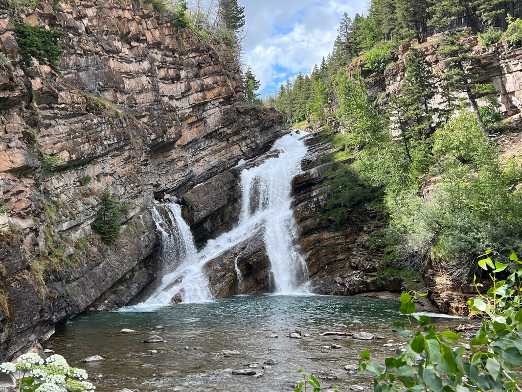
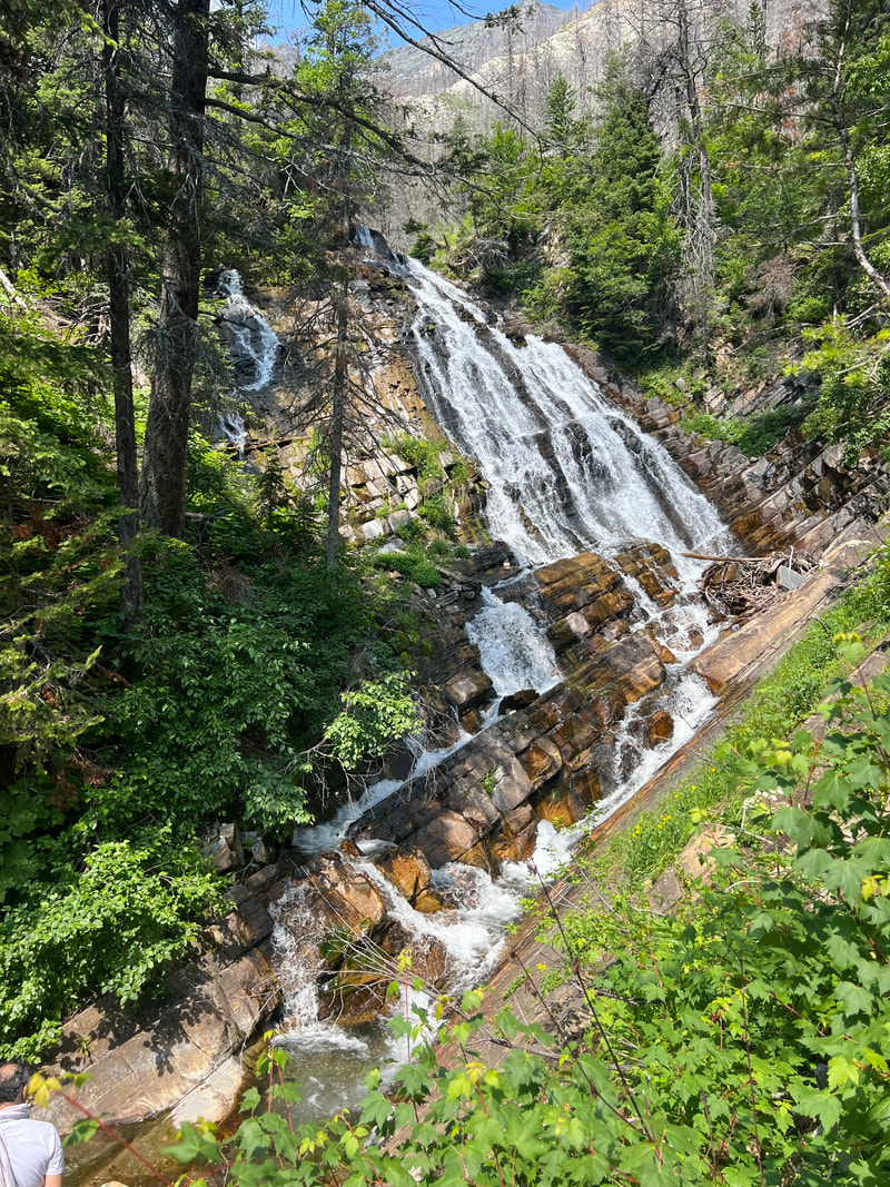
The next morning we drove back to Waterton and took a hike to Bertha Falls. The trails certainly weren’t empty, but they weren’t as crowded as the hiking trails in Glacier NP. The waterfall and the views of the valley from the mountainside were well worth the hike, and we met a couple who drove to Alaska last year, and had lots of tips and advice for us, which really made it worth it. We got back to the camper in time to eat lunch and take the dogs for a short walk around the village, where we saw more wildlife in the form of ground squirrels and semi-aggressive deer than we had seen on the mountain hike.
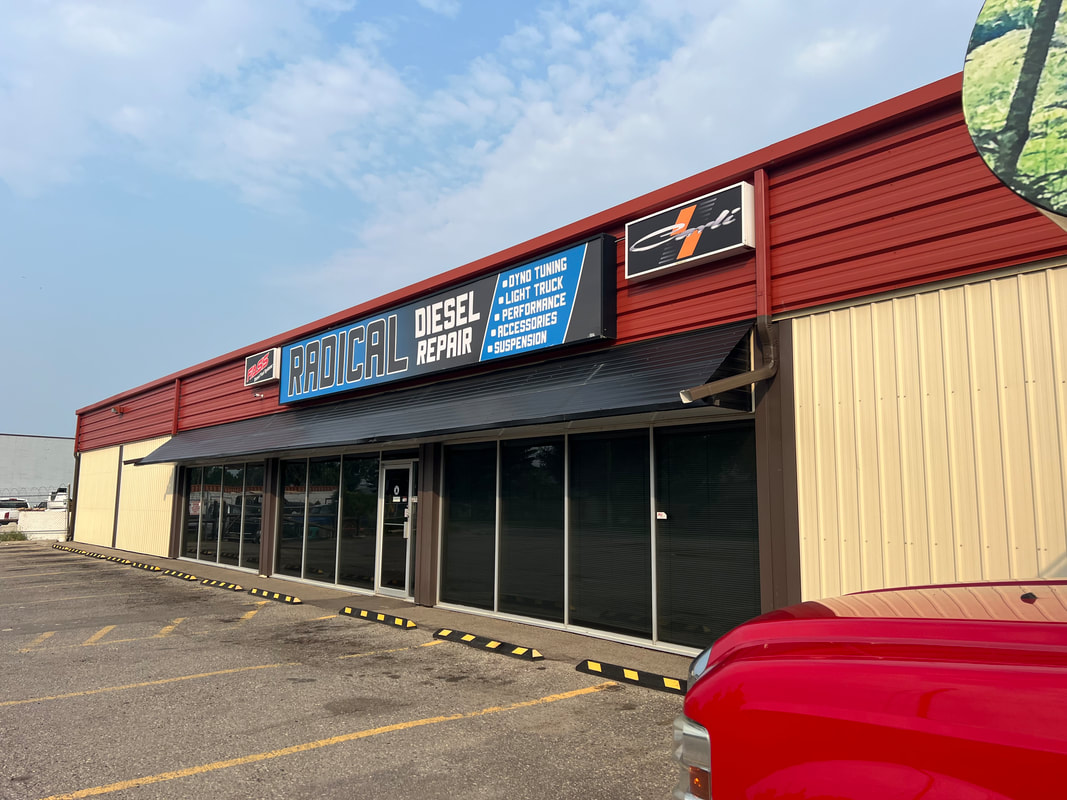
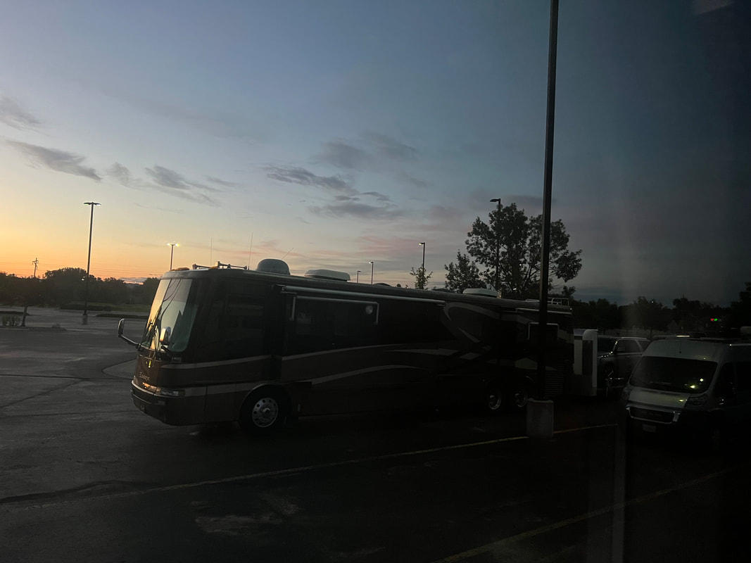
Our next stop was Calgary. We still weren’t entirely happy with how the truck was running, and the tuner Tom had been working with from Missouri was getting frustrated because it’s difficult to tune it remotely. He had recommended finding a shop that could do it, so Tom had called our friend Mike who knows people in the area to see if Mike had any recommendations. Mike’s guy didn’t do it, but recommended another shop. Tom talked to the shop, who seemed to know what they were talking about, so Tom made an appointment for the next morning. We drove to Calgary and parked in their lot for the night so we’d be there first thing in the morning. It was strange to spend a night in a city industrial park after half a week in national parks, but it was actually pretty peaceful. Working on the truck in the morning was a little weird, because most of the work happened on a computer in the shop while we hung out in the camper in the parking lot. Just after lunch, they installed the tune on the truck, and we headed for Banff. However, we got about 50 miles out, and there were still a few things that weren’t quite right, so we turned around and headed back to Radical Diesel so they could tune the tune the next morning. We spent another night in the parking lot, and the next morning’s tune was a lot quicker. We were on the road and heading west shortly after 10AM